Climate Outlook
What’s Next for the Pacific Northwest?
El Niño-Southern Oscillation (ENSO): Neutral ENSO conditions, La Niña likely by late summer
According to the Climate Prediction Center (CPC), ENSO-neutral conditions are present in the tropical Pacific Ocean. Sea-surface temperature anomalies have remained below normal in the eastern tropical Pacific, neutral in the central tropical Pacific, and remained above normal in the western tropical Pacific Ocean. The latest ENSO models have delayed the onset of La Niña slightly, and models are now predicting development by the August-September-October period. The chances of La Niña during August-September-October are 70% compared to neutral conditions (29%). The developing La Niña is unlikely to have much of an effect on our summer weather, but will likely impact our weather by early fall.
What does this mean for Washington in the coming months?
The CPC one month temperature outlook for August indicates higher chances of above normal temperatures for a majority of the state. The odds are higher (between 40 and 50% on the three-tier scale) in eastern Washington. The Olympic Peninsula and southwest Washington have equal chances (~33% chance each) of below, equal to, or above normal August temperatures. The August precipitation outlook indicates higher chances of below normal precipitation across eastern Washington. Western Washington has equal chances of below, equal to, or above normal August precipitation.
The August-September-October (ASO) is also calling for equal chances of below, equal to, or above normal temperatures for a majority of the state. Southeastern Washington has a higher probability of above normal temperatures, with the odds between 33 and 40% on the three-tiered scale. For precipitation, there are higher chances of above normal precipitation for the Olympic Peninsula, southwestern Washington, and the northern Puget Sound region. The rest of the state is uncertain: there are equal chances of below, equal to, or above normal ASO precipitation.
Last Updated: 7/18/2024
Climate Prediction Resources
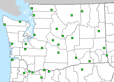
NWS Local 3-Month Temperature Outlook
Select a location plotted on the map to view the local outlook.
The links below provide access to global and regional climate predictions.
- The Current State of the Tropical Pacific:
- Predictions of the Tropical Pacific:
- Predictions of U.S. Climate Anomalies